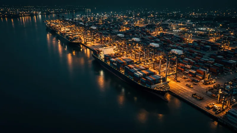
Lekki
6.4167° N, 4.0000° E
5 vessels within 15 km in the last 24 hours — 5 of them cargo ships, tankers or passenger vessels.
6.4167° N, 4.0000° E
Lekki 15 km CargoTanker
Within 15 km · 24 h
5
Moored
0
At anchor
0
Underway
1
Other / unknown
4
Traffic by type
Last 24 hPort details
- Country
- 🇳🇬 Nigeria
- UN/LOCODE
- NGLKK
- Coordinates
- 6.4167° N, 4.0000° E
- Expected arrivals
- 11
Vessels in and near Lekki
Reported within 15 km in the last 24 hours, nearest first.
Expected arrivals
Vessels that report Lekki (NGLKK) as their AIS destination.
CMA CGM CEDRUS
→ NGLKKETA 2 Nov 2026, 13:00 UTC · 7.5 kn
SEAWAYS LONSDALE
→ NGLKKETA 3 Nov 2026, 12:00 UTC · 1.8 kn
CMA CGM BRAZIL
→ CMKBI → NGLKKETA 18 Nov 2026, 15:00 UTC · 0.5 kn
M/V SAMUEL
→ NG LKK398 km away · Stopped
CMA CGM FORT ROYAL
→ GHTEM → NGLKK444 km away · Stopped
EFFY N
→ CD MAT → NG LKK436 km away · 0.8 kn
CMA CGM PRIDE
→ NGLKK334 km away · Stopped
NCC QAMAR
→ NGLKK13 km away · Stopped
MDS ARTEMIS
→ NGLKK18 km away · Stopped
HORIZON EMMANUEL
→ NGLKK16 km away · Stopped
SUNNY APATITE
→ NGLKK14 km away · Stopped
Ports near Lekki
Get notified when ships arrive in Lekki
The live map is free. Add vessels to a fleet on any plan from €9.99/month and Wingo Marine detects port calls automatically — alerts in the app or by webhook, no geofences to draw.