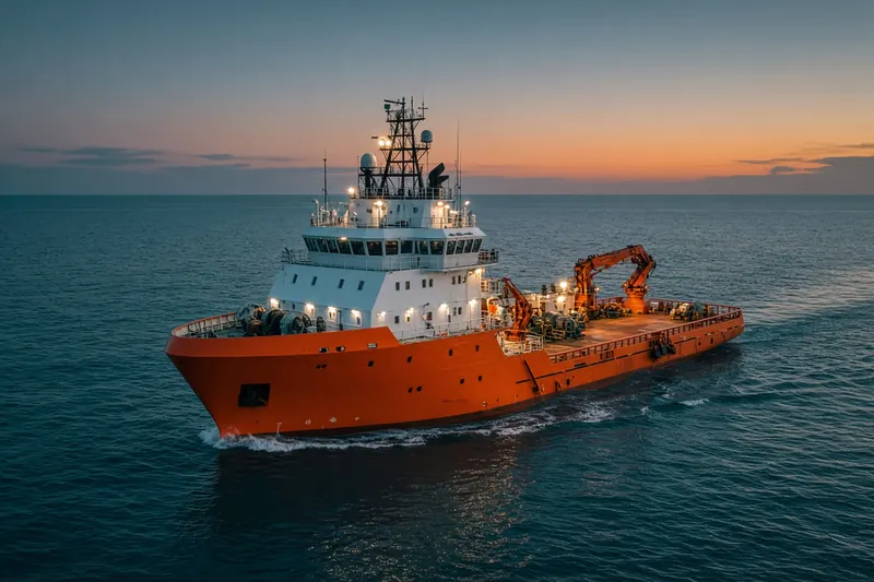
BAT_GALIM1
MMSI 428073621Call sign _
6.0 km E of Haifa Bayport, Israel
See the exact position and 7‑day track of BAT_GALIM1
Premium · €9.99/month · cancel anytime
Unlock nowNo account needed: pay by card and we email you a code to sign in. By paying you accept the Terms and the Privacy Policy.
The payment page could not open. Please try again in a moment.
32.8049° N, 35.0308° E
32.8049° N, 35.0308° E
Voyage
- Speed
- 0.0 kn
- Course
- 0°
- Position
- 32.8049° N, 35.0308° E
- Last report
- 28 Oct 2026, 07:32 UTC
- Nearest port
- Haifa Bayport6.0 km E of the port
Particulars
- MMSI
- 428073621
- Call sign
- _
- Flag
- 🇮🇱 Israel
- Type
- Diving support vesselAIS type 34
- Length
- 12 m
Not broadcast: destination, IMO number and draught.
About BAT_GALIM1
BAT_GALIM1 (MMSI 428073621) is a diving support vessel registered in Israel. It is 12 m long. Its most recent AIS position, received on 28 Oct 2026 at 07:32 UTC, placed it 6.0 km E of Haifa Bayport, Israel.
Frequently asked questions
Where is BAT_GALIM1 now?
BAT_GALIM1 was last reported 6.0 km E of Haifa Bayport, Israel on 28 Oct 2026 at 07:32 UTC.
What type of ship is BAT_GALIM1?
BAT_GALIM1 is a diving support vessel. It is 12 m long.
What is the MMSI number of BAT_GALIM1?
The MMSI of BAT_GALIM1 is 428073621. Its call sign is _.
What flag does BAT_GALIM1 fly?
BAT_GALIM1 sails under the flag of Israel (IL).
Vessels nearby
Other ships reported close to BAT_GALIM1 in the last 24 hours.
Similar special-purpose vessels
Active special-purpose vessels of a similar size (8–16 m).
More special-purpose vessels in the directory
The next special-purpose vessels with an IMO number after BAT_GALIM1, A–Z.
- 🇩🇪BAUMROENNE 27 m · Law enforcement vessel 211225300 9082219 COASTGUARD PATROL
- 🇺🇸BAYPORT 92 m · Dredger 338570000 8993784 USPDX PORTLAND
- 🇩🇪BAYREUTH 67 m · Law enforcement vessel 211386450 9252632 GERMAN COASTGUARD
- 🇮🇩BC PIONER 88 64 m · Dredger 525020399 8693152 BATAM
- 🇨🇾BEACHWAY 119 m · Dredger 209527000 9524140 SINGAPORE
- 🇺🇸BEAU BLESSEY 211 m 366932750 8964537 BATON ROUGE LA
- 🇨🇳BEI HAI JIU 112 98 m · Search and rescue vessel 412021170 9326483 NANSHAN
- 🇺🇸BELL M. SHIMADA 64 m · Noncombatant ship 369970147 9349069 NEWPORT, OR

Get alerts when BAT_GALIM1 arrives in port
Follow BAT_GALIM1 on the live map with a free account. Alerts on port calls, destination changes and AIS silence come with a fleet on any plan from €9.99/month.