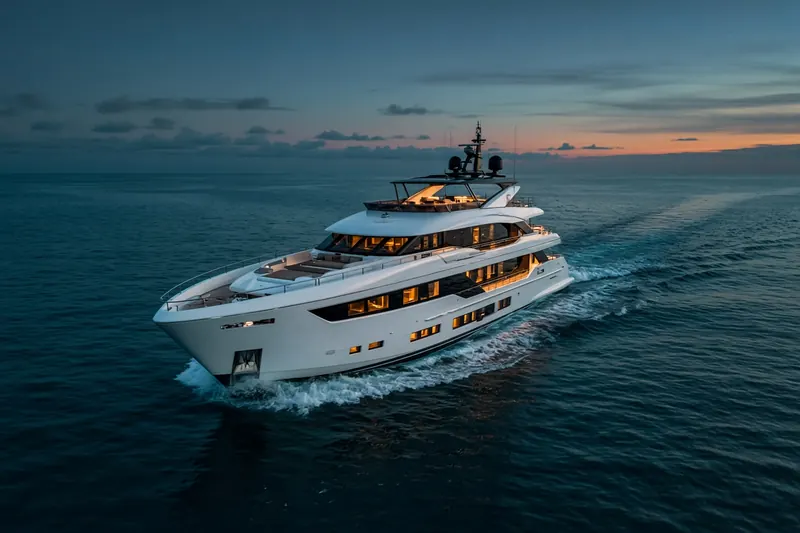
BAYA DULCE
MMSI 205409670
2.3 km N of Sint-Joris, Belgium
See the exact position and 7‑day track of BAYA DULCE
Premium · €9.99/month · cancel anytime
Unlock nowNo account needed: pay by card and we email you a code to sign in. By paying you accept the Terms and the Privacy Policy.
The payment page could not open. Please try again in a moment.
51.1368° N, 2.7701° E
51.1368° N, 2.7701° E
Voyage
- Speed
- 5.3 kn
- Course
- 37°
- Position
- 51.1368° N, 2.7701° E
- Last report
- 22 Oct 2026, 09:45 UTC
- Nearest port
- Sint-Joris2.3 km N of the port
Particulars
- MMSI
- 205409670
- Flag
- 🇧🇪 Belgium
- Type
- Pleasure craftAIS type 37
Not broadcast: destination, call sign, IMO number, dimensions and draught.
About BAYA DULCE
BAYA DULCE (MMSI 205409670) is a pleasure craft registered in Belgium. Its most recent AIS position, received on 22 Oct 2026 at 09:45 UTC, placed it 2.3 km N of Sint-Joris, Belgium. It was moving at 5.3 knots on a course of 37°.
Frequently asked questions
Where is BAYA DULCE now?
BAYA DULCE was last reported 2.3 km N of Sint-Joris, Belgium on 22 Oct 2026 at 09:45 UTC. It was moving at 5.3 knots on a course of 37°.
What type of ship is BAYA DULCE?
BAYA DULCE is a pleasure craft.
What is the MMSI number of BAYA DULCE?
The MMSI of BAYA DULCE is 205409670.
What flag does BAYA DULCE fly?
BAYA DULCE sails under the flag of Belgium (BE).
Vessels nearby
Other ships reported close to BAYA DULCE in the last 24 hours.
Similar yachts & pleasure craft
Recently active yachts & pleasure craft.
More yachts & pleasure craft in the directory
The next yachts & pleasure craft with an IMO number after BAYA DULCE, A–Z.
- 🇺🇸BEACH GIRL — 367395250 8836766 NEWPORT NEWS, VA
- 🇰🇾BEE 42 m 319270600 9993353 VIAREGGIO
- 🇰🇾BEHIKE — 319177400 9462873 — —
- 🇦🇪BEHIKE — 471252000 9462873 DUBAI CRUISING
- 🇲🇹BEL 1 49 m 256857000 9940588 VIAREGGIO
- 🇲🇹BELITA 50 m 215050000 9546332 P.HELI
- 🇲🇭BELITA 80 m 538073088 1035923 SEA TRIAL
- 🇰🇾BELLA 45 m 319016600 1009649 WEST PALM BEACH

Get alerts when BAYA DULCE arrives in port
Follow BAYA DULCE on the live map with a free account. Alerts on port calls, destination changes and AIS silence come with a fleet on any plan from €9.99/month.