BLUE MARINE
IMO 7724655MMSI 525800972
45 km NE of Jorong Anchorage, Indonesia
RecommendedEvery ship · Starter
€9.99/month · cancel anytime
Exact positions of all ships on the live map, plus a fleet of up to 10 ships with arrival, departure and destination alerts.
SubscribeNo account needed: pay by card and we email you a code to sign in. By paying you accept the Terms and the Privacy Policy.
The payment page could not open. Please try again in a moment.
3.9332° S, 115.4262° E
3.9332° S, 115.4262° ELast 24 h track
Voyage
- Destination
- TABONEO
- Speed
- 4.9 kn
- Course
- 229°
- Position
- 3.9332° S, 115.4262° E
- Last report
- 21 Nov 2026, 19:50 UTC
- Nearest port
- Jorong Anchorage45 km NE of the port
Particulars
- IMO
- 7724655
- MMSI
- 525800972
- Flag
- 🇮🇩 Indonesia
- Type
- TankerAIS type 80
- Length
- 54 m
- Beam
- 9 m
- Draught
- 4.5 m
- Deadweight
- 885 t
Not broadcast: ETA and call sign.
About BLUE MARINE
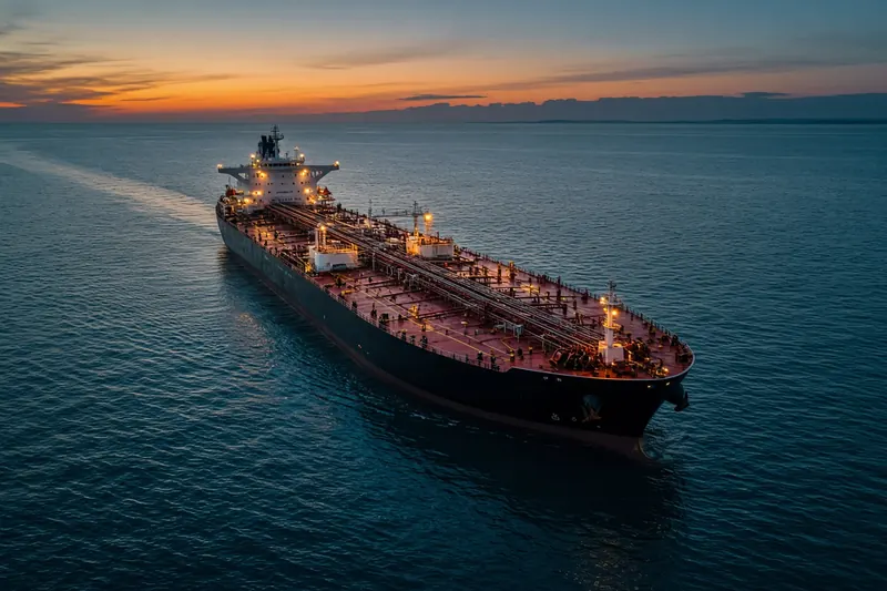
BLUE MARINE (IMO 7724655, MMSI 525800972) is a tanker registered in Indonesia. It is 54 m long and 9 m wide. Its most recent AIS position, received on 21 Nov 2026 at 19:50 UTC, placed it 45 km NE of Jorong Anchorage, Indonesia. It was moving at 4.9 knots on a course of 229°. The crew reported TABONEO as the destination.
Frequently asked questions
Where is BLUE MARINE now?
BLUE MARINE was last reported 45 km NE of Jorong Anchorage, Indonesia on 21 Nov 2026 at 19:50 UTC. It was moving at 4.9 knots on a course of 229°.
What type of ship is BLUE MARINE?
BLUE MARINE is a tanker. It is 54 m long and 9 m wide.
What are the IMO and MMSI numbers of BLUE MARINE?
The MMSI of BLUE MARINE is 525800972. Its IMO number is 7724655.
What flag does BLUE MARINE fly?
BLUE MARINE sails under the flag of Indonesia (ID).
Where is BLUE MARINE going?
BLUE MARINE reported its destination as TABONEO.
Vessels nearby
Other ships reported close to BLUE MARINE in the last 24 hours.
Other vessels named BLUE MARINE
Ship names are not unique — check the MMSI or IMO to be sure you have the right one.
Similar tankers
Active tankers of a similar size (38–70 m).
More tankers in the directory
The next tankers with an IMO number after BLUE MARINE, A–Z.
- 🇲🇭BLUE MOON 228 m 538008604 9524994 CN SHK
- 🇰🇷BLUE OCEAN — 440201420 9596404 ULSAN
- 🇰🇲BLUE OCEAN 141 m 620800512 1182556 SUEZ
- 🇻🇳BLUE OCEAN 01 96 m 574003420 9790957 NGHI SON
- 🇻🇳BLUE OCEAN 02 97 m 574003360 9790969 MGHI SON
- 🇲🇭BLUE PHOENIX 96 m · hazardous cargo D 538012814 9456616 SG PGBG
- 🇨🇲BLUE PHOENIX 180 m 613709612 9105114 CRISTOBAL PANAMA
- 🇲🇭BLUE PRINCE 243 m 538008070 9429182 BAYWAY NJ

Get an alert when BLUE MARINE reaches TABONEO
Follow BLUE MARINE on the live map with a free account. Alerts on port calls, destination changes and AIS silence come with a fleet on any plan from €9.99/month.