BOOMERANG 1
MMSI 367175460
9.6 km E of Batu Ampar, Indonesia
RecommendedEvery ship · Starter
€9.99/month · cancel anytime
Exact positions of all ships on the live map, plus a fleet of up to 10 ships with arrival, departure and destination alerts.
SubscribeNo account needed: pay by card and we email you a code to sign in. By paying you accept the Terms and the Privacy Policy.
The payment page could not open. Please try again in a moment.
1.1967° N, 104.0974° E
1.1967° N, 104.0974° E
Voyage
- Speed
- 0.0 kn
- Course
- 226°
- Position
- 1.1967° N, 104.0974° E
- Last report
- 19 Nov 2026, 02:50 UTC
- Nearest port
- Batu Ampar9.6 km E of the port
Particulars
- MMSI
- 367175460
- Flag
- 🇺🇸 United States
- Type
- Pleasure craftAIS type 37
- Length
- 15 m
- Beam
- 2 m
Not broadcast: destination, call sign, IMO number and draught.
About BOOMERANG 1
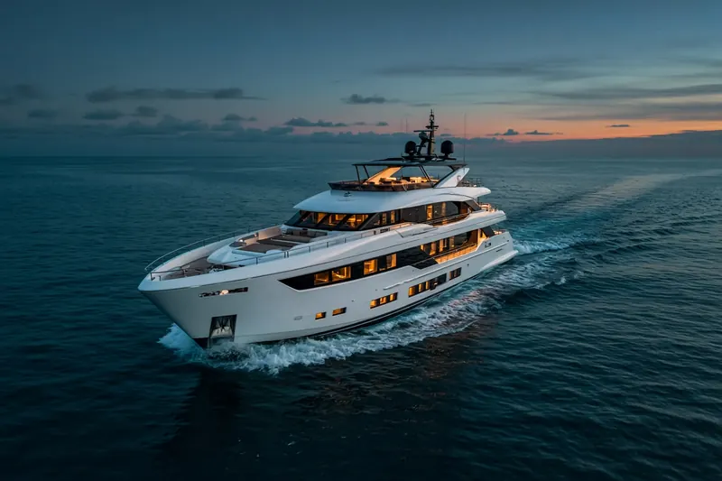
BOOMERANG 1 (MMSI 367175460) is a pleasure craft registered in the United States. It is 15 m long and 2 m wide. Its most recent AIS position, received on 19 Nov 2026 at 02:50 UTC, placed it 9.6 km E of Batu Ampar, Indonesia.
Frequently asked questions
Where is BOOMERANG 1 now?
BOOMERANG 1 was last reported 9.6 km E of Batu Ampar, Indonesia on 19 Nov 2026 at 02:50 UTC.
What type of ship is BOOMERANG 1?
BOOMERANG 1 is a pleasure craft. It is 15 m long and 2 m wide.
What is the MMSI number of BOOMERANG 1?
The MMSI of BOOMERANG 1 is 367175460.
What flag does BOOMERANG 1 fly?
BOOMERANG 1 sails under the flag of the United States (US).
Vessels nearby
Other ships reported close to BOOMERANG 1 in the last 24 hours.
Similar yachts & pleasure craft
Active yachts & pleasure craft of a similar size (11–20 m).
More yachts & pleasure craft in the directory
The next yachts & pleasure craft with an IMO number after BOOMERANG 1, A–Z.
- 🇺🇸BOTTI 36 m 368230510 9931082 PALM BEACH
- 🇭🇰BOUBA 40 m 477991869 8670112 —
- 🇹🇷BOZOK — 271010014 7531656 TRINE
- 🇲🇭BRAVADO 45 m 538072723 1008047 IT VEN
- 🇰🇾BRAVELOVE ONE 44 m 319249000 1008188 IT VIA
- 🇰🇾BRAVISSIMA 60 m 319261500 9921738 LYFORD CAY
- 🇰🇾BRAVO EUGENIA 109 m 319156800 1012921 NL ABL
- 🇰🇾BREAKTHROUGH 119 m 319300600 9899650 BLSBH

Get alerts when BOOMERANG 1 arrives in port
Follow BOOMERANG 1 on the live map with a free account. Alerts on port calls, destination changes and AIS silence come with a fleet on any plan from €9.99/month.