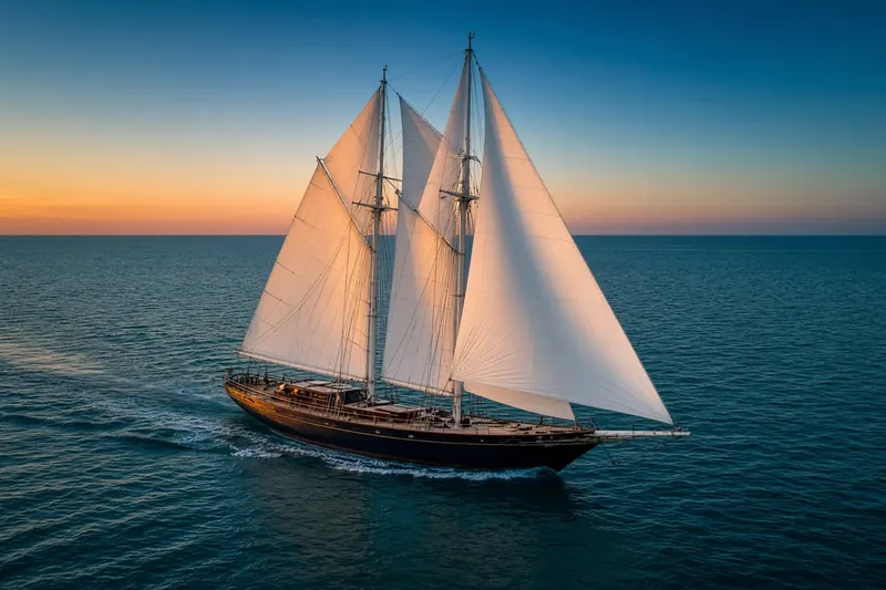
DEMONIO DE TASMANIA
MMSI 224515770
12 km SE of Tejina, Spain
See the exact position and 7‑day track of DEMONIO DE TASMANIA
Premium · €9.99/month · cancel anytime
Unlock nowNo account needed: pay by card and we email you a code to sign in. By paying you accept the Terms and the Privacy Policy.
The payment page could not open. Please try again in a moment.
28.4663° N, 16.2441° W
28.4663° N, 16.2441° W
Voyage
- Speed
- 0.0 kn
- Position
- 28.4663° N, 16.2441° W
- Last report
- 20 Nov 2026, 07:31 UTC
- Nearest port
- Tejina12 km SE of the port
Particulars
- MMSI
- 224515770
- Flag
- 🇪🇸 Spain
- Type
- Sailing vesselAIS type 36
- Length
- 13 m
Not broadcast: destination, call sign, IMO number and draught.
About DEMONIO DE TASMANIA
DEMONIO DE TASMANIA (MMSI 224515770) is a sailing vessel registered in Spain. It is 13 m long. Its most recent AIS position, received on 20 Nov 2026 at 07:31 UTC, placed it 12 km SE of Tejina, Spain.
Frequently asked questions
Where is DEMONIO DE TASMANIA now?
DEMONIO DE TASMANIA was last reported 12 km SE of Tejina, Spain on 20 Nov 2026 at 07:31 UTC.
What type of ship is DEMONIO DE TASMANIA?
DEMONIO DE TASMANIA is a sailing vessel. It is 13 m long.
What is the MMSI number of DEMONIO DE TASMANIA?
The MMSI of DEMONIO DE TASMANIA is 224515770.
What flag does DEMONIO DE TASMANIA fly?
DEMONIO DE TASMANIA sails under the flag of Spain (ES).
Vessels nearby
Other ships reported close to DEMONIO DE TASMANIA in the last 24 hours.
Similar sailing vessels
Active sailing vessels of a similar size (9–17 m).
More sailing vessels in the directory
The next sailing vessels with an IMO number after DEMONIO DE TASMANIA, A–Z.
- 🇹🇷DENAR PATHFINDER 60 m 271054468 9344227 KEEP CLEAR 1NM
- 🇺🇸DENIS SULLIVAN 42 m 338327000 1100209 CHRISTIANSTED, USVI
- 🇲🇹DON CHRIS 36 m 256364000 9560194 MCMNC
- 🇨🇴DONA JOSE II 67 m 730153530 9309306 SURINAN OFFSHORE
- 🇳🇱DWINGER 50 m 245938000 8657653 —
- 🇵🇼EAGLE 58 m 511100167 9486104 HAIL GHASHA
- 🇰🇷EARDO2 61 m 440181420 1050430 GEOJE
- 🇳🇱EENDRACHT 59 m 244543000 8814275 MQ FDF

Get alerts when DEMONIO DE TASMANIA arrives in port
Follow DEMONIO DE TASMANIA on the live map with a free account. Alerts on port calls, destination changes and AIS silence come with a fleet on any plan from €9.99/month.