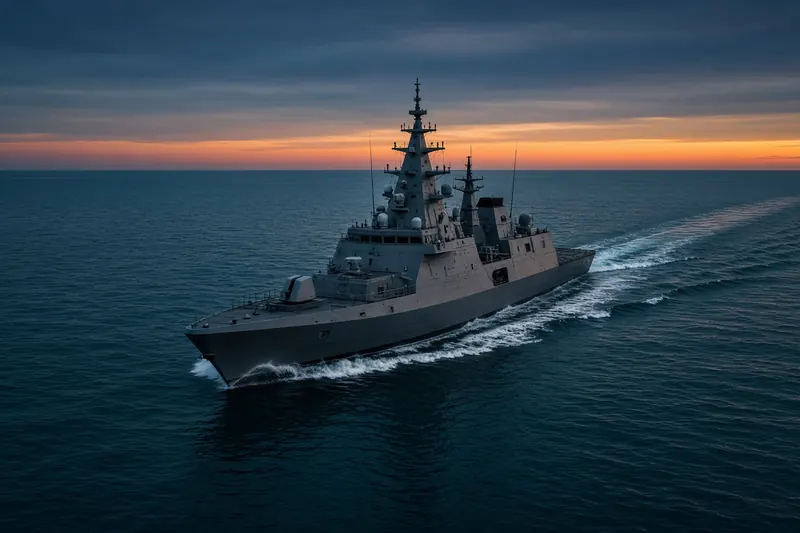
HMS ST ALBANS
IMO 8949721MMSI 234638000Call sign GDIT
8.7 km E of Skudefjorden 1H Losbordingspunkt, Norway
Loading the live position…
Last 24 h track
See the exact position and 7‑day track of HMS ST ALBANS
Every ship · Starter
€9.99/month · cancel anytime
Exact positions of all ships on the live map, plus a fleet of up to 10 ships with arrival, departure and destination alerts.
SubscribeNo account needed: pay by card and we email you a code to sign in. By paying you accept the Terms and the Privacy Policy.
The payment page could not open. Please try again in a moment.
Voyage
- Position
- Shown after you enter your email
- Last report
- 13 Nov 2026, 17:27 UTC
- Nearest port
- Skudefjorden 1H Losbordingspunkt8.7 km E of the port
- Speed
- Course
- Heading
- Position
Particulars
- IMO
- 8949721
- MMSI
- 234638000
- Call sign
- GDIT
- Type
- Military vesselAIS type 35
- Length
- 133 m
- Beam
- 16 m
- Draught
- 25.5 m
Not broadcast: destination.
About HMS ST ALBANS
HMS ST ALBANS (IMO 8949721, MMSI 234638000) is a military vessel registered in the United Kingdom. It is 133 m long and 16 m wide. Its most recent AIS position, received on 13 Nov 2026 at 17:27 UTC, placed it 8.7 km E of Skudefjorden 1H Losbordingspunkt, Norway.
Frequently asked questions
Where is HMS ST ALBANS now?
HMS ST ALBANS was last reported 8.7 km E of Skudefjorden 1H Losbordingspunkt, Norway on 13 Nov 2026 at 17:27 UTC.
What type of ship is HMS ST ALBANS?
HMS ST ALBANS is a military vessel. It is 133 m long and 16 m wide.
What are the IMO and MMSI numbers of HMS ST ALBANS?
The MMSI of HMS ST ALBANS is 234638000. Its IMO number is 8949721. Its call sign is GDIT.
What flag does HMS ST ALBANS fly?
HMS ST ALBANS sails under the flag of the United Kingdom (GB).
Vessels nearby
Other ships reported close to HMS ST ALBANS in the last 24 hours.
Similar military & naval vessels
Active military & naval vessels of a similar size (93–173 m).
More military & naval vessels in the directory
The next military & naval vessels with an IMO number after HMS ST ALBANS, A–Z.
- 🇬🇧HMS TRENT 90 m 232005754 9752072 —
- 🇸🇪HMS TROSSO 70 m 265837000 8119027 H
- 🇬🇧HMS TYNE 80 m 234605000 9261322 —
- 🇳🇱HNLMS DE RUYTER 144 m 244896000 4601010 —
- 🇳🇱HNLMS LUYMES 82 m 245939000 9271860 —
- 🇳🇱HNLMS MERCUUR — 245974000 9964077 MILOPS
- 🇳🇱HNLMS PELIKAAN 65 m 244362000 8994166 GYGEO
- 🇳🇱HNLMS SNELLIUS 82 m 245690000 9271858 SURVEY OPS

Get alerts when HMS ST ALBANS arrives in port
Follow HMS ST ALBANS on the live map with a free account. Alerts on port calls, destination changes and AIS silence come with a fleet on any plan from €9.99/month.