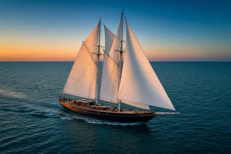
HURRICA V
MMSI 368153720Call sign WDL6750
12 km NE of Woodside, United States
RecommendedEvery ship · Starter
€9.99/month · cancel anytime
Exact positions of all ships on the live map, plus a fleet of up to 10 ships with arrival, departure and destination alerts.
SubscribeNo account needed: pay by card and we email you a code to sign in. By paying you accept the Terms and the Privacy Policy.
The payment page could not open. Please try again in a moment.
37.5119° N, 122.1946° W
37.5119° N, 122.1946° W
Voyage
- Speed
- 0.0 kn
- Course
- 124°
- Position
- 37.5119° N, 122.1946° W
- Last report
- 20 Nov 2026, 22:47 UTC
- Nearest port
- Woodside12 km NE of the port
Particulars
- MMSI
- 368153720
- Call sign
- WDL6750
- Flag
- 🇺🇸 United States
- Type
- Sailing vesselAIS type 36
- Length
- 22 m
- Beam
- 4 m
Not broadcast: destination, IMO number and draught.
About HURRICA V
HURRICA V (MMSI 368153720) is a sailing vessel registered in the United States. It is 22 m long and 4 m wide. Its most recent AIS position, received on 20 Nov 2026 at 22:47 UTC, placed it 12 km NE of Woodside, United States.
Frequently asked questions
Where is HURRICA V now?
HURRICA V was last reported 12 km NE of Woodside, United States on 20 Nov 2026 at 22:47 UTC.
What type of ship is HURRICA V?
HURRICA V is a sailing vessel. It is 22 m long and 4 m wide.
What is the MMSI number of HURRICA V?
The MMSI of HURRICA V is 368153720. Its call sign is WDL6750.
What flag does HURRICA V fly?
HURRICA V sails under the flag of the United States (US).
Vessels nearby
Other ships reported close to HURRICA V in the last 24 hours.
Similar sailing vessels
Active sailing vessels of a similar size (15–29 m).
More sailing vessels in the directory
The next sailing vessels with an IMO number after HURRICA V, A–Z.
- 🇫🇷HYDROMER 70 m 228452900 9975260 PLN H2 TRIALS
- 🇲🇭HYPERION 47 m 538080020 1006104 MALLORCA
- 🇻🇺IDE MIN 40 m 577593000 6924844 AMSTERDAM
- 🇺🇸IEMANJA 28 m 366215000 9296353 FOURCHON
- 🇵🇱IKAR 30 m 261000620 6519302 PLWLA
- 🇲🇭INUKSHUK 32 m 538070932 9703148 ANTIGUA
- 🇳🇱IRIS 36 m 244189000 8334990 NLHAR
- 🇳🇱J R TOLKIEN — 244496000 7017064 MELCHIOR ISL

Get alerts when HURRICA V arrives in port
Follow HURRICA V on the live map with a free account. Alerts on port calls, destination changes and AIS silence come with a fleet on any plan from €9.99/month.