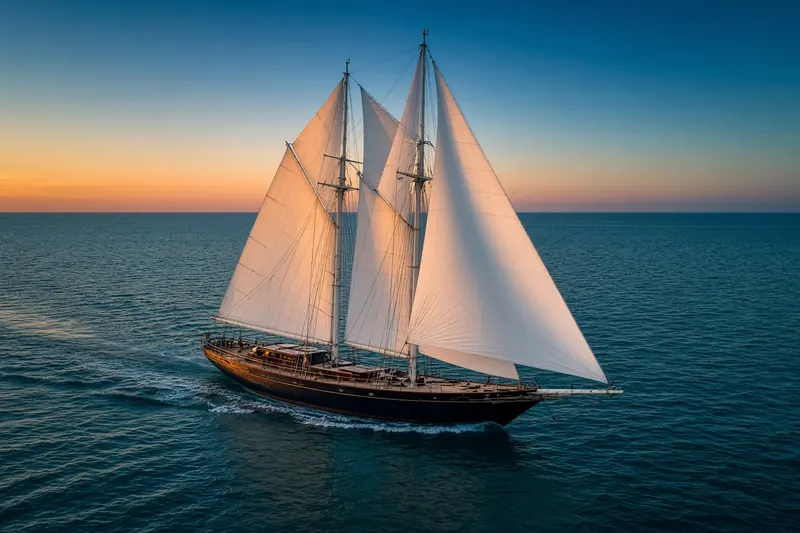
ISLAND BREEZE
MMSI 235091499Call sign MVWM4
18 km E of Hisaronu, Türkiye
See the exact position and 7‑day track of ISLAND BREEZE
Premium · €9.99/month · cancel anytime
Unlock nowNo account needed: pay by card and we email you a code to sign in. By paying you accept the Terms and the Privacy Policy.
The payment page could not open. Please try again in a moment.
36.8195° N, 28.3080° E
36.8195° N, 28.3080° E
Voyage
- Speed
- 0.0 kn
- Course
- 0°
- Position
- 36.8195° N, 28.3080° E
- Last report
- 1 Oct 2026, 11:35 UTC
- Nearest port
- Hisaronu18 km E of the port
Particulars
- MMSI
- 235091499
- Call sign
- MVWM4
- Type
- Sailing vesselAIS type 36
- Length
- 14 m
- Draught
- 1.8 m
Not broadcast: destination and IMO number.
About ISLAND BREEZE
ISLAND BREEZE (MMSI 235091499) is a sailing vessel registered in the United Kingdom. It is 14 m long. Its most recent AIS position, received on 1 Oct 2026 at 11:35 UTC, placed it 18 km E of Hisaronu, Türkiye.
Frequently asked questions
Where is ISLAND BREEZE now?
ISLAND BREEZE was last reported 18 km E of Hisaronu, Türkiye on 1 Oct 2026 at 11:35 UTC.
What type of ship is ISLAND BREEZE?
ISLAND BREEZE is a sailing vessel. It is 14 m long.
What is the MMSI number of ISLAND BREEZE?
The MMSI of ISLAND BREEZE is 235091499. Its call sign is MVWM4.
What flag does ISLAND BREEZE fly?
ISLAND BREEZE sails under the flag of the United Kingdom (GB).
Vessels nearby
Other ships reported close to ISLAND BREEZE in the last 24 hours.
Other vessels named ISLAND BREEZE
Ship names are not unique — check the MMSI or IMO to be sure you have the right one.
Similar sailing vessels
Active sailing vessels of a similar size (10–18 m).
More sailing vessels in the directory
The next sailing vessels with an IMO number after ISLAND BREEZE, A–Z.
- 🇳🇱J R TOLKIEN — 244496000 7017064 MELCHIOR ISL
- 🇲🇹J. SPARROW 23 m 256563000 7924932 EBOME
- 🇩🇪JOHANN SMIDT 38 m 211237730 1472145 ESSCT
- 🇳🇬JV ADABA 70 m 657163700 9463126 ONNE PORT
- 🇲🇹KAIROS II 33 m 248802000 9450181 ESSCT
- 🇯🇵KAIWO MARU 110 m 431006000 8801010 JP NGO N2
- 🇰🇾KATANA 58 m 319311800 1052634 USPAB - SEA TRIALS
- 🇮🇩KM.TBI JAYA 53 m 525015837 9084358 PKL.BALAM

Get alerts when ISLAND BREEZE arrives in port
Follow ISLAND BREEZE on the live map with a free account. Alerts on port calls, destination changes and AIS silence come with a fleet on any plan from €9.99/month.