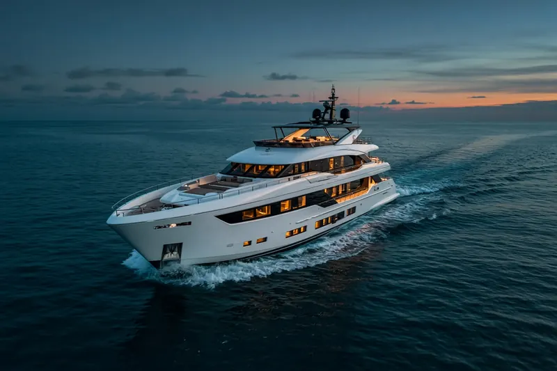
KNOT ALL BAD
MMSI 338494382
26 km SE of Newport Beach, United States
RecommendedEvery ship · Starter
€9.99/month · cancel anytime
Exact positions of all ships on the live map, plus a fleet of up to 10 ships with arrival, departure and destination alerts.
SubscribeNo account needed: pay by card and we email you a code to sign in. By paying you accept the Terms and the Privacy Policy.
The payment page could not open. Please try again in a moment.
33.4604° N, 117.7025° W
33.4604° N, 117.7025° W
Voyage
- Speed
- 0.0 kn
- Position
- 33.4604° N, 117.7025° W
- Last report
- 31 Oct 2026, 22:15 UTC
- Nearest port
- Newport Beach26 km SE of the port
Particulars
- MMSI
- 338494382
- Flag
- 🇺🇸 United States
- Type
- Pleasure craftAIS type 37
- Length
- 18 m
- Beam
- 6 m
Not broadcast: destination, call sign, IMO number and draught.
About KNOT ALL BAD
KNOT ALL BAD (MMSI 338494382) is a pleasure craft registered in the United States. It is 18 m long and 6 m wide. Its most recent AIS position, received on 31 Oct 2026 at 22:15 UTC, placed it 26 km SE of Newport Beach, United States.
Frequently asked questions
Where is KNOT ALL BAD now?
KNOT ALL BAD was last reported 26 km SE of Newport Beach, United States on 31 Oct 2026 at 22:15 UTC.
What type of ship is KNOT ALL BAD?
KNOT ALL BAD is a pleasure craft. It is 18 m long and 6 m wide.
What is the MMSI number of KNOT ALL BAD?
The MMSI of KNOT ALL BAD is 338494382.
What flag does KNOT ALL BAD fly?
KNOT ALL BAD sails under the flag of the United States (US).
Vessels nearby
Other ships reported close to KNOT ALL BAD in the last 24 hours.
Similar yachts & pleasure craft
Active yachts & pleasure craft of a similar size (13–23 m).
More yachts & pleasure craft in the directory
The next yachts & pleasure craft with an IMO number after KNOT ALL BAD, A–Z.
- 🇲🇹KOGO 71 m 249091000 1008504 PERAMA
- 🇲🇹KOHUBA 35 m 256004919 8591718 MANDELIEU
- 🇯🇲KOJU 37 m 339000115 9948205 VG TOV
- 🇵🇼KOKOMO NIGHTS 47 m 511101893 1002471 MESOLOGGI
- 🇻🇨KOLAHA 63 m 377703000 1010600 FR CEQ
- 🇯🇲KONA 53 m 339000317 9779070 PHUKET
- 🇲🇹KOOSHA I 43 m 248464000 9779551 ZEA
- 🇬🇧KORU 46 m 232130000 1002720 GENOVA

Get alerts when KNOT ALL BAD arrives in port
Follow KNOT ALL BAD on the live map with a free account. Alerts on port calls, destination changes and AIS silence come with a fleet on any plan from €9.99/month.