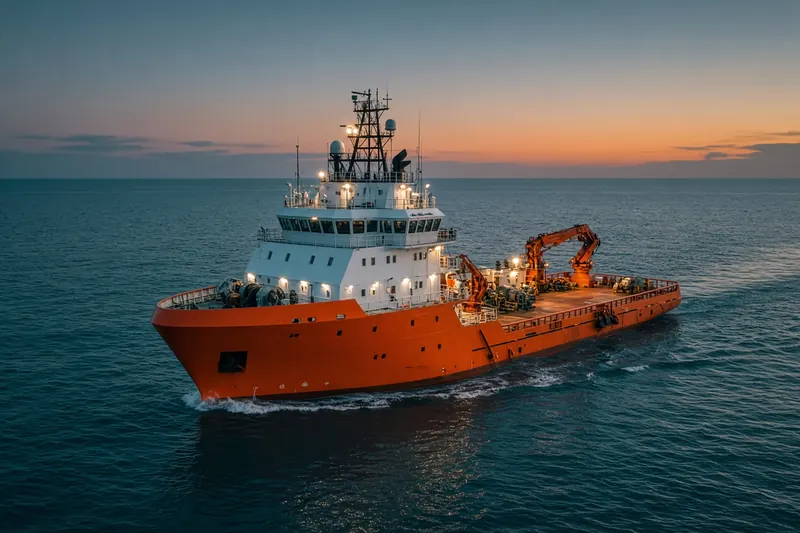
KRAMMEROORD
MMSI 244810812Call sign PC2713
6.2 km N of Duivendrecht, Netherlands
RecommendedEvery ship · Starter
€9.99/month · cancel anytime
Exact positions of all ships on the live map, plus a fleet of up to 10 ships with arrival, departure and destination alerts.
SubscribeNo account needed: pay by card and we email you a code to sign in. By paying you accept the Terms and the Privacy Policy.
The payment page could not open. Please try again in a moment.
52.3724° N, 4.9255° E
52.3724° N, 4.9255° E
Voyage
- Speed
- 0.0 kn
- Position
- 52.3724° N, 4.9255° E
- Last report
- 17 Nov 2026, 12:29 UTC
- Nearest port
- Duivendrecht6.2 km N of the port
Particulars
- MMSI
- 244810812
- Call sign
- PC2713
- Flag
- 🇳🇱 Netherlands
- Type
- Port tenderAIS type 53
- Draught
- 0.2 m
Not broadcast: destination, IMO number and dimensions.
About KRAMMEROORD
KRAMMEROORD (MMSI 244810812) is a port tender registered in the Netherlands. Its most recent AIS position, received on 17 Nov 2026 at 12:29 UTC, placed it 6.2 km N of Duivendrecht, Netherlands.
Frequently asked questions
Where is KRAMMEROORD now?
KRAMMEROORD was last reported 6.2 km N of Duivendrecht, Netherlands on 17 Nov 2026 at 12:29 UTC.
What type of ship is KRAMMEROORD?
KRAMMEROORD is a port tender.
What is the MMSI number of KRAMMEROORD?
The MMSI of KRAMMEROORD is 244810812. Its call sign is PC2713.
What flag does KRAMMEROORD fly?
KRAMMEROORD sails under the flag of the Netherlands (NL).
Vessels nearby
Other ships reported close to KRAMMEROORD in the last 24 hours.
Similar special-purpose vessels
Recently active special-purpose vessels.
More special-purpose vessels in the directory
The next special-purpose vessels with an IMO number after KRAMMEROORD, A–Z.
- 🇳🇱KREEFT 53 m · Dredger 244398000 8331209 MAINZ
- 🇮🇩KRI 992 Medical transport 525114112 9914175 ID
- 🇺🇸KRISTIN ALEXIS 81 m 366997820 8635784 US^0F08 → 0WXK
- 🇺🇸KRISTIN POLING 138 m 368010420 9378759 NEW YORK HARBOR
- 🇺🇸KRISTY ANN 130 m 368051060 9862774 USNYC
- 🇯🇵KUNIGAMI 89 m · Search and rescue vessel 432675000 8742446 JP KNX
- 🇯🇵KURIKOMA 89 m · Search and rescue vessel 432689000 8742458 JP SGM
- 🇳🇴KV BARENTSHAV 93 m · Law enforcement vessel 259317000 9389356 —

Get alerts when KRAMMEROORD arrives in port
Follow KRAMMEROORD on the live map with a free account. Alerts on port calls, destination changes and AIS silence come with a fleet on any plan from €9.99/month.