LAKAM-HA
IMO 9052393MMSI 538004129Call sign V7VI6
18 km E of Tampoi, Malaysia
See the exact position and 7‑day track of LAKAM-HA
Premium · €9.99/month · cancel anytime
Unlock nowNo account needed: pay by card and we email you a code to sign in. By paying you accept the Terms and the Privacy Policy.
The payment page could not open. Please try again in a moment.
1.4708° N, 103.8278° E
1.4708° N, 103.8278° E
Voyage
- Destination
- ADMIRALTY SHIPYARD
- Speed
- 0.0 kn
- Course
- 0°
- Heading
- 299°
- Position
- 1.4708° N, 103.8278° E
- Last report
- 16 Nov 2026, 03:57 UTC
- Nearest port
- Tampoi18 km E of the port
Particulars
- IMO
- 9052393
- MMSI
- 538004129
- Call sign
- V7VI6
- Type
- TankerAIS type 80
- Length
- 240 m
- Beam
- 41 m
- Draught
- 7.0 m
- Deadweight
- 102,123 t
Not broadcast: ETA.
About LAKAM-HA
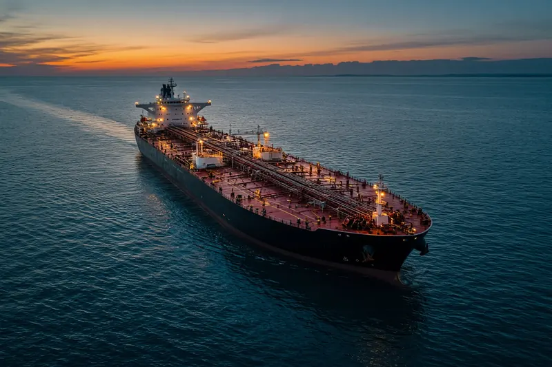
LAKAM-HA (IMO 9052393, MMSI 538004129) is a tanker registered in the Marshall Islands. It is 240 m long and 41 m wide. Its most recent AIS position, received on 16 Nov 2026 at 03:57 UTC, placed it 18 km E of Tampoi, Malaysia. The crew reported ADMIRALTY SHIPYARD as the destination.
Frequently asked questions
Where is LAKAM-HA now?
LAKAM-HA was last reported 18 km E of Tampoi, Malaysia on 16 Nov 2026 at 03:57 UTC.
What type of ship is LAKAM-HA?
LAKAM-HA is a tanker. It is 240 m long and 41 m wide.
What are the IMO and MMSI numbers of LAKAM-HA?
The MMSI of LAKAM-HA is 538004129. Its IMO number is 9052393. Its call sign is V7VI6.
What flag does LAKAM-HA fly?
LAKAM-HA sails under the flag of the Marshall Islands (MH).
Where is LAKAM-HA going?
LAKAM-HA reported its destination as ADMIRALTY SHIPYARD.
Vessels nearby
Other ships reported close to LAKAM-HA in the last 24 hours.
Similar tankers
Active tankers of a similar size (168–312 m).
More tankers in the directory
The next tankers with an IMO number after LAKAM-HA, A–Z.
- 🇧🇸LAKE MODRO 295 m 311001681 9974606 NLEEM
- 🇧🇸LAKE MORSKIE OKO 295 m · hazardous cargo C 311001680 9974618 AIN SUKHNA-EGYPT
- 🇲🇭LAKE STARS 250 m 538008655 9868780 GDANSK
- 🇱🇷LAKSHMI 189 m 636021695 9428865 US HOU
- 🇮🇩LAKSMINI 79 72 m 525023057 9068328 CLASS B
- 🇧🇸LALLA FATMA N'SOUMER 292 m · hazardous cargo D 311775000 9275347 TRALI
- 🇨🇱LAMA 128 m 725005603 9353890 CL PCH
- 🇲🇹LAMENTIN 119 m 229933000 9377054 STEENBANK

Get an alert when LAKAM-HA reaches ADMIRALTY SHIPYARD
Follow LAKAM-HA on the live map with a free account. Alerts on port calls, destination changes and AIS silence come with a fleet on any plan from €9.99/month.