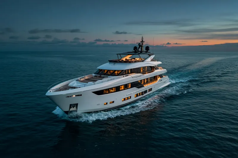
LOUGH ROSS
MMSI 232026299Call sign MGUB7
7.8 km E of Marchwood, United Kingdom
See the exact position and 7‑day track of LOUGH ROSS
Premium · €9.99/month · cancel anytime
Unlock nowNo account needed: pay by card and we email you a code to sign in. By paying you accept the Terms and the Privacy Policy.
The payment page could not open. Please try again in a moment.
50.8761° N, 1.3060° W
50.8761° N, 1.3060° W
Voyage
- Speed
- 0.0 kn
- Position
- 50.8761° N, 1.3060° W
- Last report
- 20 Oct 2026, 12:03 UTC
- Nearest port
- Marchwood7.8 km E of the port
Particulars
- MMSI
- 232026299
- Call sign
- MGUB7
- Type
- Pleasure craftAIS type 37
- Length
- 8 m
- Beam
- 4 m
Not broadcast: destination, IMO number and draught.
About LOUGH ROSS
LOUGH ROSS (MMSI 232026299) is a pleasure craft registered in the United Kingdom. It is 8 m long and 4 m wide. Its most recent AIS position, received on 20 Oct 2026 at 12:03 UTC, placed it 7.8 km E of Marchwood, United Kingdom.
Frequently asked questions
Where is LOUGH ROSS now?
LOUGH ROSS was last reported 7.8 km E of Marchwood, United Kingdom on 20 Oct 2026 at 12:03 UTC.
What type of ship is LOUGH ROSS?
LOUGH ROSS is a pleasure craft. It is 8 m long and 4 m wide.
What is the MMSI number of LOUGH ROSS?
The MMSI of LOUGH ROSS is 232026299. Its call sign is MGUB7.
What flag does LOUGH ROSS fly?
LOUGH ROSS sails under the flag of the United Kingdom (GB).
Vessels nearby
Other ships reported close to LOUGH ROSS in the last 24 hours.
Similar yachts & pleasure craft
Active yachts & pleasure craft of a similar size (6–10 m).
More yachts & pleasure craft in the directory
The next yachts & pleasure craft with an IMO number after LOUGH ROSS, A–Z.
- 🇲🇭LOULOU 35 m 538080027 9093696 CLASS B
- 🇰🇾LUCKY LADY 63 m 319713000 1007328 AGSJO
- 🇲🇹LUCKY ME YACHT ACADE 42 m 256002473 9579183 GR PER
- 🇺🇸LUCKY PETER — 366813490 8939556 CLASS B
- 🇲🇹LUCKY US 41 m 256373000 1007251 CANNES
- 🇰🇾LUCY 42 m 319567000 9505625 FORT LAUDERDALE
- 🇰🇾LUDY 37 m 319212000 9535371 BIZERTE
- 🇲🇹LUDZIE 62 m 256577000 1008530 MAHE ARMED GUARDS

Get alerts when LOUGH ROSS arrives in port
Follow LOUGH ROSS on the live map with a free account. Alerts on port calls, destination changes and AIS silence come with a fleet on any plan from €9.99/month.