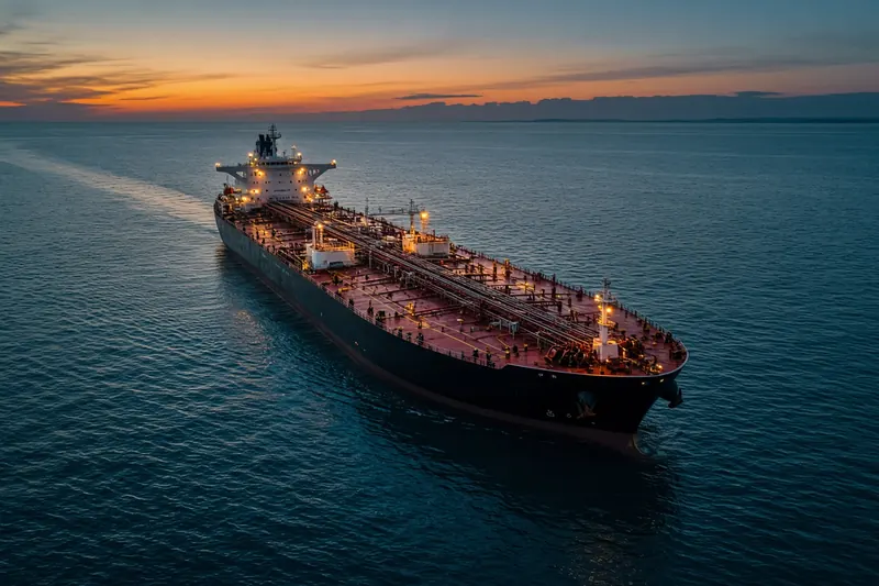
LOURDAS BAY
IMO 9696711MMSI 636026647Call sign A8IN2
9.1 km S of Tanjong Bin, Malaysia
See the exact position and 7‑day track of LOURDAS BAY
Every ship · Starter
€9.99/month · cancel anytime
Exact positions of all ships on the live map, plus a fleet of up to 10 ships with arrival, departure and destination alerts.
SubscribeNo account needed: pay by card and we email you a code to sign in. By paying you accept the Terms and the Privacy Policy.
The payment page could not open. Please try again in a moment.
1.2376° N, 103.5724° E
1.2376° N, 103.5724° ELast 24 h track
Voyage
- Destination
- TANJUNG PELEPAS
- Speed
- 0.0 kn
- Course
- 65°
- Heading
- 165°
- Position
- 1.2376° N, 103.5724° E
- Last report
- 18 Nov 2026, 08:58 UTC
- Nearest port
- Tanjong Bin9.1 km S of the port
Particulars
- IMO
- 9696711
- MMSI
- 636026647
- Call sign
- A8IN2
- Flag
- 🇱🇷 Liberia
- Type
- TankerAIS type 80
- Length
- 256 m
- Beam
- 43 m
- Draught
- 14.0 m
- Deadweight
- 109,999 t
Not broadcast: ETA.
About LOURDAS BAY
LOURDAS BAY (IMO 9696711, MMSI 636026647) is a tanker registered in Liberia. It is 256 m long and 43 m wide. Its most recent AIS position, received on 18 Nov 2026 at 08:58 UTC, placed it 9.1 km S of Tanjong Bin, Malaysia. The crew reported TANJUNG PELEPAS as the destination.
Frequently asked questions
Where is LOURDAS BAY now?
LOURDAS BAY was last reported 9.1 km S of Tanjong Bin, Malaysia on 18 Nov 2026 at 08:58 UTC.
What type of ship is LOURDAS BAY?
LOURDAS BAY is a tanker. It is 256 m long and 43 m wide.
What are the IMO and MMSI numbers of LOURDAS BAY?
The MMSI of LOURDAS BAY is 636026647. Its IMO number is 9696711. Its call sign is A8IN2.
What flag does LOURDAS BAY fly?
LOURDAS BAY sails under the flag of Liberia (LR).
Where is LOURDAS BAY going?
LOURDAS BAY reported its destination as TANJUNG PELEPAS.
Vessels nearby
Other ships reported close to LOURDAS BAY in the last 24 hours.
Similar tankers
Active tankers of a similar size (179–333 m).
More tankers in the directory
The next tankers with an IMO number after LOURDAS BAY, A–Z.
- 🇱🇷LOUROS 183 m 636025917 9884837 YANBU
- 🇲🇹LOUTRO 88 m 248870000 9531583 GRAGT
- 🇦🇬LOVE 228 m 305043000 9222132 OPL SOUTH OF CYPRUS
- 🇳🇬LOVE OF GOD 95 m 657235000 8643808 —
- 🇲🇹LOVELY LADY 250 m 256372000 9960978 EGRAG
- 🇸🇬LOXLEY 119 m · hazardous cargo C 563022900 9798636 OPL KALAMATA
- 🇷🇺LOYA 36 m 273349020 8729949 RUULU
- 🇹🇷LOYA 1 — 271052979 1028918 CLASS B

Get an alert when LOURDAS BAY reaches TANJUNG PELEPAS
Follow LOURDAS BAY on the live map with a free account. Alerts on port calls, destination changes and AIS silence come with a fleet on any plan from €9.99/month.