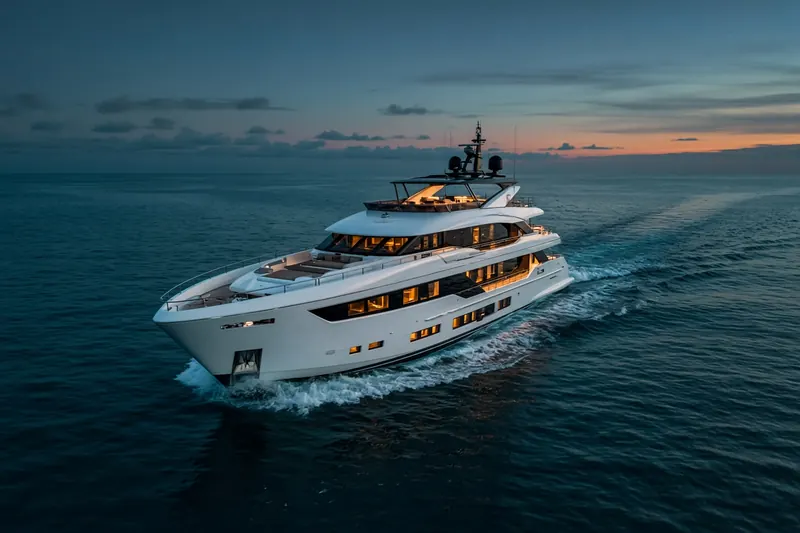
MAROMA
MMSI 338556777
33 km W of Saint Thomas, U.S. Virgin Islands
See the exact position and 7‑day track of MAROMA
Premium · €9.99/month · cancel anytime
Unlock nowNo account needed: pay by card and we email you a code to sign in. By paying you accept the Terms and the Privacy Policy.
The payment page could not open. Please try again in a moment.
18.3195° N, 65.2279° W
18.3195° N, 65.2279° W
Voyage
- Speed
- 0.0 kn
- Course
- 0°
- Position
- 18.3195° N, 65.2279° W
- Last report
- 2 Nov 2026, 20:07 UTC
- Nearest port
- Saint Thomas33 km W of the port
Particulars
- MMSI
- 338556777
- Flag
- 🇺🇸 United States
- Type
- Pleasure craftAIS type 37
Not broadcast: destination, call sign, IMO number, dimensions and draught.
About MAROMA
MAROMA (MMSI 338556777) is a pleasure craft registered in the United States. Its most recent AIS position, received on 2 Nov 2026 at 20:07 UTC, placed it 33 km W of Saint Thomas, U.S. Virgin Islands.
Frequently asked questions
Where is MAROMA now?
MAROMA was last reported 33 km W of Saint Thomas, U.S. Virgin Islands on 2 Nov 2026 at 20:07 UTC.
What type of ship is MAROMA?
MAROMA is a pleasure craft.
What is the MMSI number of MAROMA?
The MMSI of MAROMA is 338556777.
What flag does MAROMA fly?
MAROMA sails under the flag of the United States (US).
Vessels nearby
Other ships reported close to MAROMA in the last 24 hours.
Similar yachts & pleasure craft
Recently active yachts & pleasure craft.
More yachts & pleasure craft in the directory
The next yachts & pleasure craft with an IMO number after MAROMA, A–Z.
- 🇰🇾MARSA LUNA 52 m 319357900 9993705 SPEZIA
- 🇰🇾MARUN 58 m 319290500 1008487 HUTULCO,MEXICO
- 🇬🇧MARY JEAN II 60 m 235080247 1010595 SXSXM
- 🇰🇾MASA 50 m 319632000 9874832 LA SPEZIA
- 🇲🇹MASQUENADA 51 m 215832000 9450246 LA SPEZIA
- 🇨🇰MAT 45 m 518998885 1074462 CALA GALERA
- 🇧🇸MAVERICK 50 m 311001480 9979307 FT LAUDERDALE
- 🇯🇲MAXIMA 30 m 339000114 1081910 GENOA

Get alerts when MAROMA arrives in port
Follow MAROMA on the live map with a free account. Alerts on port calls, destination changes and AIS silence come with a fleet on any plan from €9.99/month.