MIRA
MMSI 338513377
17 km NE of Harwood, United States
See the exact position and 7‑day track of MIRA
Premium · €9.99/month · cancel anytime
Unlock nowNo account needed: pay by card and we email you a code to sign in. By paying you accept the Terms and the Privacy Policy.
The payment page could not open. Please try again in a moment.
38.9628° N, 76.4804° W
38.9628° N, 76.4804° W
Voyage
- Speed
- 0.0 kn
- Position
- 38.9628° N, 76.4804° W
- Last report
- 16 Nov 2026, 19:38 UTC
- Nearest port
- Harwood17 km NE of the port
Particulars
- MMSI
- 338513377
- Flag
- 🇺🇸 United States
- Type
- Sailing vesselAIS type 36
- Length
- 18 m
- Beam
- 66 m
Not broadcast: destination, call sign, IMO number and draught.
About MIRA
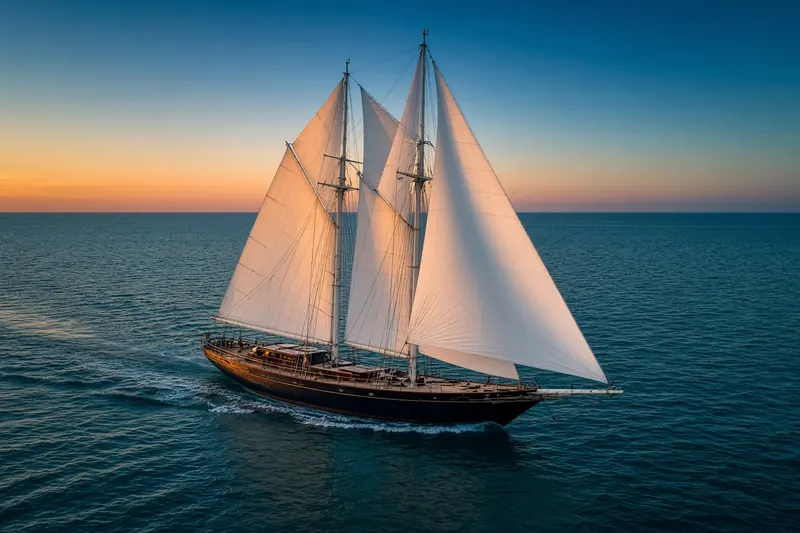
MIRA (MMSI 338513377) is a sailing vessel registered in the United States. It is 18 m long and 66 m wide. Its most recent AIS position, received on 16 Nov 2026 at 19:38 UTC, placed it 17 km NE of Harwood, United States.
Frequently asked questions
Where is MIRA now?
MIRA was last reported 17 km NE of Harwood, United States on 16 Nov 2026 at 19:38 UTC.
What type of ship is MIRA?
MIRA is a sailing vessel. It is 18 m long and 66 m wide.
What is the MMSI number of MIRA?
The MMSI of MIRA is 338513377.
What flag does MIRA fly?
MIRA sails under the flag of the United States (US).
Vessels nearby
Other ships reported close to MIRA in the last 24 hours.
Other vessels named MIRA
Ship names are not unique — check the MMSI or IMO to be sure you have the right one.
Similar sailing vessels
Active sailing vessels of a similar size (13–23 m).
More sailing vessels in the directory
The next sailing vessels with an IMO number after MIRA, A–Z.
- 🇯🇵MIRAIE 52 m 431572000 9044528 JP THR OFF
- 🇰🇾MITSEAAH 47 m 319073000 9440655 USPEF
- 🇳🇱MORGENSTER 38 m 245136000 5241659 DEN HELDER
- 🇸🇬MP KESATRIA 76 m 566903000 9743344 TAICHUN9
- 🇺🇸MS VIRGIE — 338740000 9529657 NS42
- 🇺🇸MTNEST 16 m 368460000 9472359 CLASS B
- 🇦🇪MUTAWA 10 45 m 470892000 9356971 UMM LULU FIELD
- 🇦🇪MUTAWA 309 59 m 470282000 9601065 NMDC ENERGY

Get alerts when MIRA arrives in port
Follow MIRA on the live map with a free account. Alerts on port calls, destination changes and AIS silence come with a fleet on any plan from €9.99/month.