Loading the live position…
Last 24 h track
See the exact position and 7‑day track of MV GIS BLAKELY
Every ship · Starter
€9.99/month · cancel anytime
Exact positions of all ships on the live map, plus a fleet of up to 10 ships with arrival, departure and destination alerts.
SubscribeNo account needed: pay by card and we email you a code to sign in. By paying you accept the Terms and the Privacy Policy.
The payment page could not open. Please try again in a moment.
Voyage
- Destination
- NG PHC
- ETA
- 30 Dec 2026, 21:00 UTC
- Position
- Shown after you enter your email
- Last report
- 17 Nov 2026, 16:39 UTC
- Nearest port
- Ima34 km NW of the port
- Speed
- Course
- Heading
- Position
Particulars
- IMO
- 8973423
- MMSI
- 657262700
- Call sign
- 5N2068
- Flag
- 🇳🇬 Nigeria
- Type
- Military vesselAIS type 35
- Length
- 18 m
- Beam
- 21 m
- Draught
- 2.0 m
About MV GIS BLAKELY
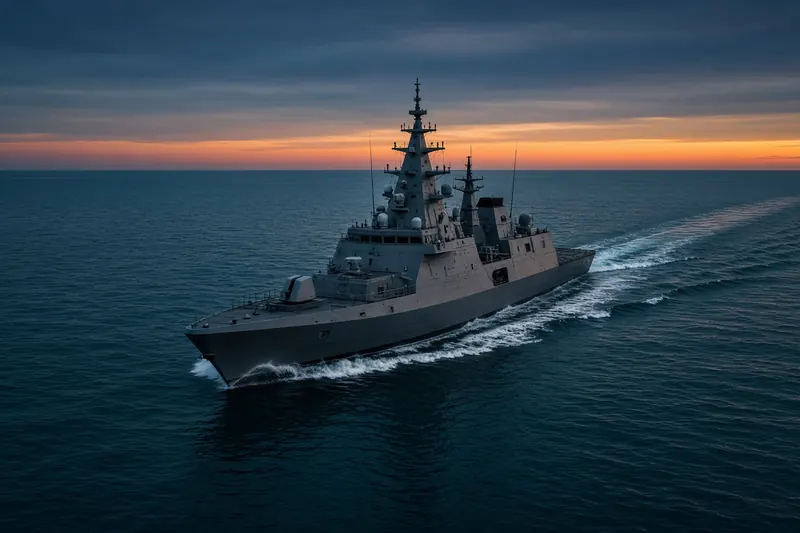
MV GIS BLAKELY (IMO 8973423, MMSI 657262700) is a military vessel registered in Nigeria. It is 18 m long and 21 m wide. Its most recent AIS position, received on 17 Nov 2026 at 16:39 UTC, placed it 34 km NW of Ima, Nigeria. The crew reported NG PHC as the destination, with an ETA of 30 Dec 2026 at 21:00 UTC.
Frequently asked questions
Where is MV GIS BLAKELY now?
MV GIS BLAKELY was last reported 34 km NW of Ima, Nigeria on 17 Nov 2026 at 16:39 UTC.
What type of ship is MV GIS BLAKELY?
MV GIS BLAKELY is a military vessel. It is 18 m long and 21 m wide.
What are the IMO and MMSI numbers of MV GIS BLAKELY?
The MMSI of MV GIS BLAKELY is 657262700. Its IMO number is 8973423. Its call sign is 5N2068.
What flag does MV GIS BLAKELY fly?
MV GIS BLAKELY sails under the flag of Nigeria (NG).
Where is MV GIS BLAKELY going?
MV GIS BLAKELY reported its destination as NG PHC, with an estimated arrival on 30 Dec 2026 at 21:00 UTC.
Vessels nearby
Other ships reported close to MV GIS BLAKELY in the last 24 hours.
Similar military & naval vessels
Active military & naval vessels of a similar size (13–23 m).
More military & naval vessels in the directory
The next military & naval vessels with an IMO number after MV GIS BLAKELY, A–Z.
- 🇳🇬MV STEFAN — 657101300 7917898 PORT NIG
- 🇧🇪NATO WARSHIP — 205203000 4515754 —
- 🇵🇱NATO WARSHIP 603 59 m 261094104 4609438 GDYNIA
- 🇳🇱NATO WARSHIP A834 180 m 244936000 4763959 —
- 🇳🇱NAUTILUS 39 m 245989000 9021758 MIDDELPLAAT
- 🇺🇸NAVAL AUXILIARY 188 207 m 367862000 8302428 NSN
- 🇺🇸NAWC 38 58 m 369970517 8101745 —
- 🇳🇱NETHERLANDS WARSHIP 144 m 244942000 4601022 —

Get an alert when MV GIS BLAKELY reaches NG PHC
Follow MV GIS BLAKELY on the live map with a free account. Alerts on port calls, destination changes and AIS silence come with a fleet on any plan from €9.99/month.