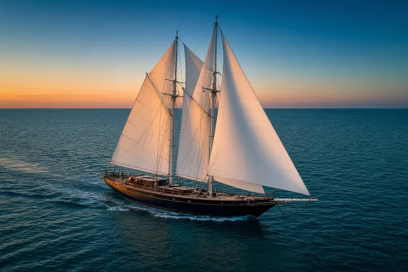
NAMARIE
MMSI 518999145Call sign E5U5126
4.3 km E of Auckland, New Zealand
See the exact position and 7‑day track of NAMARIE
Premium · €9.99/month · cancel anytime
Unlock nowNo account needed: pay by card and we email you a code to sign in. By paying you accept the Terms and the Privacy Policy.
The payment page could not open. Please try again in a moment.
36.8272° S, 174.8462° E
36.8272° S, 174.8462° E
Voyage
- Speed
- 7.4 kn
- Course
- 79°
- Position
- 36.8272° S, 174.8462° E
- Last report
- 31 Oct 2026, 03:32 UTC
- Nearest port
- Auckland4.3 km E of the port
Particulars
- MMSI
- 518999145
- Call sign
- E5U5126
- Flag
- 🇨🇰 Cook Islands
- Type
- Sailing vesselAIS type 36
- Length
- 14 m
- Beam
- 8 m
Not broadcast: destination, IMO number and draught.
About NAMARIE
NAMARIE (MMSI 518999145) is a sailing vessel registered in the Cook Islands. It is 14 m long and 8 m wide. Its most recent AIS position, received on 31 Oct 2026 at 03:32 UTC, placed it 4.3 km E of Auckland, New Zealand. It was moving at 7.4 knots on a course of 79°.
Frequently asked questions
Where is NAMARIE now?
NAMARIE was last reported 4.3 km E of Auckland, New Zealand on 31 Oct 2026 at 03:32 UTC. It was moving at 7.4 knots on a course of 79°.
What type of ship is NAMARIE?
NAMARIE is a sailing vessel. It is 14 m long and 8 m wide.
What is the MMSI number of NAMARIE?
The MMSI of NAMARIE is 518999145. Its call sign is E5U5126.
What flag does NAMARIE fly?
NAMARIE sails under the flag of the Cook Islands (CK).
Vessels nearby
Other ships reported close to NAMARIE in the last 24 hours.
Similar sailing vessels
Active sailing vessels of a similar size (10–18 m).
More sailing vessels in the directory
The next sailing vessels with an IMO number after NAMARIE, A–Z.
- 🇲🇾NAUTICA TG PUTERI 27 37 m 533130498 9762120 KOTA KINABALU
- 🇲🇾NAUTICA TG.PUTERI 24 30 m 533180131 9707728 PORT KELANG
- 🇵🇦NAVE SANTA MARIA 50 m 370247000 6417499 BRLGA
- 🇹🇷NAZENIN V 52 m 271045428 9551820 PENDIK
- 🇬🇧NGONI 57 m 232006087 1013042 PALMA
- 🇲🇹NILAYA 45 m 256002853 9925588 RECIFE BRAZIL
- 🇰🇳NO HURRY 15 m 341876000 8861668 —
- 🇲🇹NOMAD VII 38 m 249771000 1191349 LRIENT

Get alerts when NAMARIE arrives in port
Follow NAMARIE on the live map with a free account. Alerts on port calls, destination changes and AIS silence come with a fleet on any plan from €9.99/month.