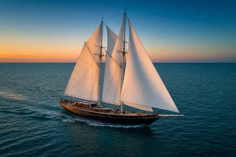
OCEAN WAYFINDER
MMSI 316003807
12 km NW of Brentwood Bay, Canada
RecommendedEvery ship · Starter
€9.99/month · cancel anytime
Exact positions of all ships on the live map, plus a fleet of up to 10 ships with arrival, departure and destination alerts.
SubscribeNo account needed: pay by card and we email you a code to sign in. By paying you accept the Terms and the Privacy Policy.
The payment page could not open. Please try again in a moment.
48.6505° N, 123.5510° W
48.6505° N, 123.5510° W
Voyage
- Speed
- 0.0 kn
- Position
- 48.6505° N, 123.5510° W
- Last report
- 20 Nov 2026, 15:49 UTC
- Nearest port
- Brentwood Bay12 km NW of the port
Particulars
- MMSI
- 316003807
- Flag
- 🇨🇦 Canada
- Type
- Sailing vesselAIS type 36
Not broadcast: destination, call sign, IMO number, dimensions and draught.
About OCEAN WAYFINDER
OCEAN WAYFINDER (MMSI 316003807) is a sailing vessel registered in Canada. Its most recent AIS position, received on 20 Nov 2026 at 15:49 UTC, placed it 12 km NW of Brentwood Bay, Canada.
Frequently asked questions
Where is OCEAN WAYFINDER now?
OCEAN WAYFINDER was last reported 12 km NW of Brentwood Bay, Canada on 20 Nov 2026 at 15:49 UTC.
What type of ship is OCEAN WAYFINDER?
OCEAN WAYFINDER is a sailing vessel.
What is the MMSI number of OCEAN WAYFINDER?
The MMSI of OCEAN WAYFINDER is 316003807.
What flag does OCEAN WAYFINDER fly?
OCEAN WAYFINDER sails under the flag of Canada (CA).
Vessels nearby
Other ships reported close to OCEAN WAYFINDER in the last 24 hours.
Similar sailing vessels
Recently active sailing vessels.
More sailing vessels in the directory
The next sailing vessels with an IMO number after OCEAN WAYFINDER, A–Z.
- 🇵🇱OCEANIA 50 m 261000150 8304854 GDANSK
- 🇹🇷OGUZ KHAN 50 m 271054041 1166851 AGFAM
- 🇮🇹OHANA 50 m 247323600 9606247 LA SPEZIA
- 🇳🇬OSAYAME 33 m 657459000 9518696 ONNE
- 🇲🇹PANTHALASSA 56 m 229905000 9578103 LIVORNO
- 🇮🇩PATRA OFFSHORE 56 m 525009172 8502729 PABELOKAN
- 🇬🇧PAZ 43 m 232508000 8978332 ESDNA
- 🇮🇩PELANGI ESCOURT 3 36 m 525010225 9743887 BATAM

Get alerts when OCEAN WAYFINDER arrives in port
Follow OCEAN WAYFINDER on the live map with a free account. Alerts on port calls, destination changes and AIS silence come with a fleet on any plan from €9.99/month.