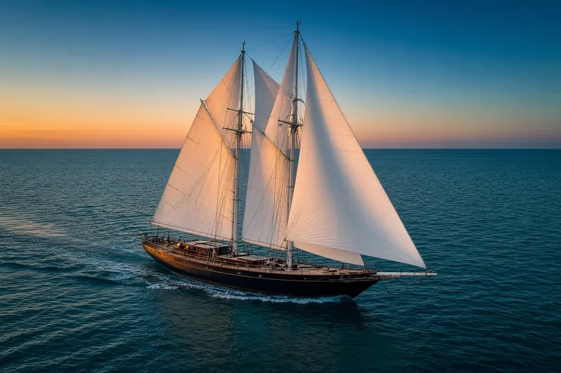
PINTA 42
MMSI 205681130Call sign OP6811
In the port of Kats, Netherlands
RecommendedEvery ship · Starter
€9.99/month · cancel anytime
Exact positions of all ships on the live map, plus a fleet of up to 10 ships with arrival, departure and destination alerts.
SubscribeNo account needed: pay by card and we email you a code to sign in. By paying you accept the Terms and the Privacy Policy.
The payment page could not open. Please try again in a moment.
51.6019° N, 3.8438° E
51.6019° N, 3.8438° E
Voyage
- Speed
- 0.0 kn
- Position
- 51.6019° N, 3.8438° E
- Last report
- 11 Nov 2026, 10:27 UTC
- Nearest port
- KatsIn port
Particulars
- MMSI
- 205681130
- Call sign
- OP6811
- Flag
- 🇧🇪 Belgium
- Type
- Sailing vesselAIS type 36
- Length
- 12 m
- Beam
- 4 m
Not broadcast: destination, IMO number and draught.
About PINTA 42
PINTA 42 (MMSI 205681130) is a sailing vessel registered in Belgium. It is 12 m long and 4 m wide. Its most recent AIS position, received on 11 Nov 2026 at 10:27 UTC, placed it in the port of Kats, Netherlands.
Frequently asked questions
Where is PINTA 42 now?
PINTA 42 was last reported in the port of Kats, Netherlands on 11 Nov 2026 at 10:27 UTC.
What type of ship is PINTA 42?
PINTA 42 is a sailing vessel. It is 12 m long and 4 m wide.
What is the MMSI number of PINTA 42?
The MMSI of PINTA 42 is 205681130. Its call sign is OP6811.
What flag does PINTA 42 fly?
PINTA 42 sails under the flag of Belgium (BE).
Vessels nearby
Other ships reported close to PINTA 42 in the last 24 hours.
Similar sailing vessels
Active sailing vessels of a similar size (8–16 m).
More sailing vessels in the directory
The next sailing vessels with an IMO number after PINTA 42, A–Z.
- 🇨🇰PRINCESS OF ADRIATIC 48 m 518100640 9613800 BODRUM
- 🇲🇨PRINCIPESSA VAIVIA — 254947000 9097082 LIVORNO
- 🇬🇧PROLIFIC 32 m 235026613 4505199 —
- 🇲🇹RAIJIN 39 m 256004907 1186710 —
- 🇳🇱RAINBOW WARRIOR 62 m 244163000 9575383 THSAT
- 🇬🇧RAVENGER 55 m 232007762 1154054 ESVLG
- 🇲🇹RED DRAGON 52 m 256005000 1009651 ESPMI
- 🇳🇱REGINA MARIS 48 m 244528000 7025126 ESSCT

Get alerts when PINTA 42 arrives in port
Follow PINTA 42 on the live map with a free account. Alerts on port calls, destination changes and AIS silence come with a fleet on any plan from €9.99/month.