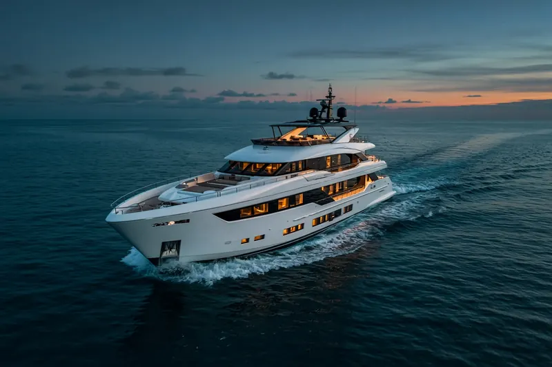
SAN ELIAS
MMSI 368690000
56 km E of Casa de Campo, Dominican Republic
RecommendedEvery ship · Starter
€9.99/month · cancel anytime
Exact positions of all ships on the live map, plus a fleet of up to 10 ships with arrival, departure and destination alerts.
SubscribeNo account needed: pay by card and we email you a code to sign in. By paying you accept the Terms and the Privacy Policy.
The payment page could not open. Please try again in a moment.
18.5013° N, 68.3809° W
18.5013° N, 68.3809° W
Voyage
- Speed
- 0.0 kn
- Course
- 334°
- Heading
- 28°
- Position
- 18.5013° N, 68.3809° W
- Last report
- 21 Nov 2026, 04:20 UTC
- Nearest port
- Casa de Campo56 km E of the port
Particulars
- MMSI
- 368690000
- Flag
- 🇺🇸 United States
- Type
- Pleasure craftAIS type 37
- Length
- 19 m
- Beam
- 6 m
Not broadcast: destination, call sign, IMO number and draught.
About SAN ELIAS
SAN ELIAS (MMSI 368690000) is a pleasure craft registered in the United States. It is 19 m long and 6 m wide. Its most recent AIS position, received on 21 Nov 2026 at 04:20 UTC, placed it 56 km E of Casa de Campo, Dominican Republic.
Frequently asked questions
Where is SAN ELIAS now?
SAN ELIAS was last reported 56 km E of Casa de Campo, Dominican Republic on 21 Nov 2026 at 04:20 UTC.
What type of ship is SAN ELIAS?
SAN ELIAS is a pleasure craft. It is 19 m long and 6 m wide.
What is the MMSI number of SAN ELIAS?
The MMSI of SAN ELIAS is 368690000.
What flag does SAN ELIAS fly?
SAN ELIAS sails under the flag of the United States (US).
Similar yachts & pleasure craft
Active yachts & pleasure craft of a similar size (13–25 m).
More yachts & pleasure craft in the directory
The next yachts & pleasure craft with an IMO number after SAN ELIAS, A–Z.
- 🇬🇧SANAM 53 m 232066696 1011525 BARCELONA PORT VELL
- 🇬🇷SANJANA 29 m 241067000 8545329 SARONIKOS
- 🇲🇹SANSARA — 256555000 8545276 JEBEL ALI MARINA
- 🇵🇭SANTA DOROTHEA 72 m 548026101 1141617 LUCENA CITY
- 🇬🇧SANTANDREA 29 m 234773000 5311698 LAP.BCS
- 🇰🇾SANTOSHA 57 m 319292800 9969039 FORT LAUDERDALE
- 🇰🇾SARAH 62 m 319775000 1007407 FLISVOS
- 🇰🇾SARAMOUR 60 m 319064100 1012048 IT LA SPEZIA

Get alerts when SAN ELIAS arrives in port
Follow SAN ELIAS on the live map with a free account. Alerts on port calls, destination changes and AIS silence come with a fleet on any plan from €9.99/month.