SEA SHORE
IMO 9510553MMSI 629009038Call sign C5J52
74 km S of Amirabad, Iran
RecommendedEvery ship · Starter
€9.99/month · cancel anytime
Exact positions of all ships on the live map, plus a fleet of up to 10 ships with arrival, departure and destination alerts.
SubscribeNo account needed: pay by card and we email you a code to sign in. By paying you accept the Terms and the Privacy Policy.
The payment page could not open. Please try again in a moment.
26.2118° N, 54.1515° E
26.2118° N, 54.1515° ELast 24 h track
Voyage
- Destination
- KAZIRAQ
- Speed
- 5.8 kn
- Course
- 297°
- Heading
- 295°
- Position
- 26.2118° N, 54.1515° E
- Last report
- 21 Nov 2026, 12:39 UTC
- Nearest port
- Amirabad74 km S of the port
Particulars
- IMO
- 9510553
- MMSI
- 629009038
- Call sign
- C5J52
- Flag
- 🇬🇲 Gambia
- Type
- TankerAIS type 80
- Length
- 118 m
- Beam
- 19 m
- Draught
- 6.6 m
- Deadweight
- 9,118 t
Not broadcast: ETA.
About SEA SHORE
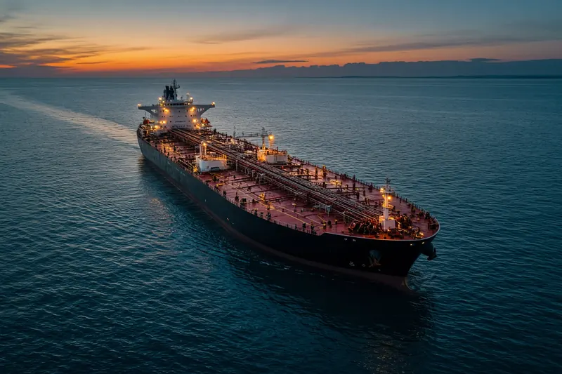
SEA SHORE (IMO 9510553, MMSI 629009038) is a tanker registered in the Gambia. It is 118 m long and 19 m wide. Its most recent AIS position, received on 21 Nov 2026 at 12:39 UTC, placed it 74 km S of Amirabad, Iran. It was moving at 5.8 knots on a course of 297°. The crew reported KAZIRAQ as the destination.
Frequently asked questions
Where is SEA SHORE now?
SEA SHORE was last reported 74 km S of Amirabad, Iran on 21 Nov 2026 at 12:39 UTC. It was moving at 5.8 knots on a course of 297°.
What type of ship is SEA SHORE?
SEA SHORE is a tanker. It is 118 m long and 19 m wide.
What are the IMO and MMSI numbers of SEA SHORE?
The MMSI of SEA SHORE is 629009038. Its IMO number is 9510553. Its call sign is C5J52.
What flag does SEA SHORE fly?
SEA SHORE sails under the flag of the Gambia (GM).
Where is SEA SHORE going?
SEA SHORE reported its destination as KAZIRAQ.
Vessels nearby
Other ships reported close to SEA SHORE in the last 24 hours.
Similar tankers
Active tankers of a similar size (83–153 m).
More tankers in the directory
The next tankers with an IMO number after SEA SHORE, A–Z.
- 🇸🇬SEA SOLIDARITY 69 m 566685000 9647904 AEW
- 🇲🇭SEA SPIKE 183 m 538004533 9629952 BD CGP
- 🇭🇰SEA SPIRIT 294 m · hazardous cargo D 477140700 9970650 USCRP
- 🇭🇰SEA SPLENDOR 330 m 477083500 9575101 OMSOH → CNCFD
- 🇬🇷SEA STAR 250 m 241849000 9945289 USCRP
- 🇵🇦SEA STAR 249 m 373594000 9607710 USBTR
- 🇰🇲SEA STAR 225 m 620800446 9078074 QATAR
- 🇲🇭SEA STRATUS 183 m 538010132 9724556 FRLRT

Get an alert when SEA SHORE reaches KAZIRAQ
Follow SEA SHORE on the live map with a free account. Alerts on port calls, destination changes and AIS silence come with a fleet on any plan from €9.99/month.