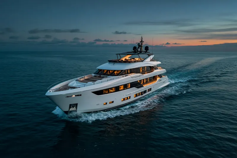
THE PLAN
MMSI 367649570Call sign WDH7584
13 km SW of Vashon Island, United States
See the exact position and 7‑day track of THE PLAN
Premium · €9.99/month · cancel anytime
Unlock nowNo account needed: pay by card and we email you a code to sign in. By paying you accept the Terms and the Privacy Policy.
The payment page could not open. Please try again in a moment.
47.3337° N, 122.5828° W
47.3337° N, 122.5828° W
Voyage
- Speed
- 0.0 kn
- Course
- 72°
- Position
- 47.3337° N, 122.5828° W
- Last report
- 17 Nov 2026, 02:01 UTC
- Nearest port
- Vashon Island13 km SW of the port
Particulars
- MMSI
- 367649570
- Call sign
- WDH7584
- Flag
- 🇺🇸 United States
- Type
- Pleasure craftAIS type 37
- Length
- 15 m
- Beam
- 5 m
Not broadcast: destination, IMO number and draught.
About THE PLAN
THE PLAN (MMSI 367649570) is a pleasure craft registered in the United States. It is 15 m long and 5 m wide. Its most recent AIS position, received on 17 Nov 2026 at 02:01 UTC, placed it 13 km SW of Vashon Island, United States.
Frequently asked questions
Where is THE PLAN now?
THE PLAN was last reported 13 km SW of Vashon Island, United States on 17 Nov 2026 at 02:01 UTC.
What type of ship is THE PLAN?
THE PLAN is a pleasure craft. It is 15 m long and 5 m wide.
What is the MMSI number of THE PLAN?
The MMSI of THE PLAN is 367649570. Its call sign is WDH7584.
What flag does THE PLAN fly?
THE PLAN sails under the flag of the United States (US).
Vessels nearby
Other ships reported close to THE PLAN in the last 24 hours.
Similar yachts & pleasure craft
Active yachts & pleasure craft of a similar size (11–20 m).
More yachts & pleasure craft in the directory
The next yachts & pleasure craft with an IMO number after THE PLAN, A–Z.
- 🇰🇾THE STAR 44 m 319303900 1006879 GR PER/IGMAR
- 🇬🇷THEION 30 m 240398300 8985842 AGIOS KOSMAS
- 🇺🇸THEMIS 50 m 368023090 8979922 —
- 🇲🇹THEOLINA 39 m 256004284 1009534 AEGEAN
- 🇲🇹THIS IS IT I 44 m 256817000 1023346 SALAMINA GR
- 🇲🇹THUMPER 40 m 229942000 9751987 CANNES
- 🇰🇾THUNDER 47 m 319511000 1010038 SAINT MARTIN
- 🇲🇭TIAMAT 43 m 538072087 9583079 —

Get alerts when THE PLAN arrives in port
Follow THE PLAN on the live map with a free account. Alerts on port calls, destination changes and AIS silence come with a fleet on any plan from €9.99/month.