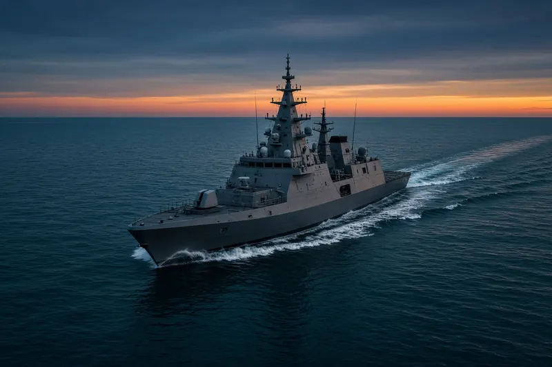
U.S. WARSHIP
MMSI 369970969Call sign NWIC
5.8 km E of Blount Island, United States
See the exact position and 7‑day track of U.S. WARSHIP
Every ship · Starter
€9.99/month · cancel anytime
Exact positions of all ships on the live map, plus a fleet of up to 10 ships with arrival, departure and destination alerts.
SubscribeNo account needed: pay by card and we email you a code to sign in. By paying you accept the Terms and the Privacy Policy.
The payment page could not open. Please try again in a moment.
30.3879° N, 81.4578° W
30.3879° N, 81.4578° W
Voyage
- Speed
- 0.0 kn
- Course
- 324°
- Status
- Moored
- Position
- 30.3879° N, 81.4578° W
- Last report
- 17 Nov 2026, 14:16 UTC
- Nearest port
- Blount Island5.8 km E of the port
Particulars
- MMSI
- 369970969
- Call sign
- NWIC
- Flag
- 🇺🇸 United States
- Type
- Military vesselAIS type 35
Not broadcast: destination, IMO number, dimensions and draught.
About U.S. WARSHIP
U.S. WARSHIP (MMSI 369970969) is a military vessel registered in the United States. Its most recent AIS position, received on 17 Nov 2026 at 14:16 UTC, placed it 5.8 km E of Blount Island, United States. At its last report, U.S. WARSHIP was moored.
Frequently asked questions
Where is U.S. WARSHIP now?
U.S. WARSHIP was last reported 5.8 km E of Blount Island, United States on 17 Nov 2026 at 14:16 UTC. At its last report, U.S. WARSHIP was moored.
What type of ship is U.S. WARSHIP?
U.S. WARSHIP is a military vessel.
What is the MMSI number of U.S. WARSHIP?
The MMSI of U.S. WARSHIP is 369970969. Its call sign is NWIC.
What flag does U.S. WARSHIP fly?
U.S. WARSHIP sails under the flag of the United States (US).
Vessels nearby
Other ships reported close to U.S. WARSHIP in the last 24 hours.
Similar military & naval vessels
Recently active military & naval vessels.
More military & naval vessels in the directory
The next military & naval vessels with an IMO number after U.S. WARSHIP, A–Z.
- 🇺🇸US GOV VESSEL 240 m 369463000 9647526 A
- 🇺🇸US GOV VESSEL 203 207 m 367861000 8906626 MOBILE,ALABAMA
- 🇺🇸US GOVT VSL 193 m 369978000 6126533 —
- 🇺🇸USNS ABLE 72 m 367837000 8923143 REQUEST 2NM CPA
- 🇺🇸USNS APALACHICOLA 103 m 366991412 9888572 SEA
- 🇺🇸USNS ARROWHEAD 75 m 368926300 9472373 PORT ANGELES, WA
- 🇺🇸USNS CODY 103 m 366991413 9888584 —
- 🇺🇸USNS DAHL 289 m 368700000 9117040 USNYC

Get alerts when U.S. WARSHIP arrives in port
Follow U.S. WARSHIP on the live map with a free account. Alerts on port calls, destination changes and AIS silence come with a fleet on any plan from €9.99/month.