WANGDI60999 5 87
MMSI 263600266
At sea in the North Atlantic Ocean
RecommendedEvery ship · Starter
€9.99/month · cancel anytime
Exact positions of all ships on the live map, plus a fleet of up to 10 ships with arrival, departure and destination alerts.
SubscribeNo account needed: pay by card and we email you a code to sign in. By paying you accept the Terms and the Privacy Policy.
The payment page could not open. Please try again in a moment.
36.9936° N, 38.8537° W
36.9936° N, 38.8537° W
Voyage
- Speed
- 0.2 kn
- Course
- 306°
- Position
- 36.9936° N, 38.8537° W
- Last report
- 21 Nov 2026, 16:25 UTC
Particulars
- MMSI
- 263600266
- Flag
- 🇵🇹 Portugal
- Type
- High-speed craftAIS type 40
- Length
- 284 m
- Beam
- 10 m
Not broadcast: destination, call sign, IMO number and draught.
About WANGDI60999 5 87
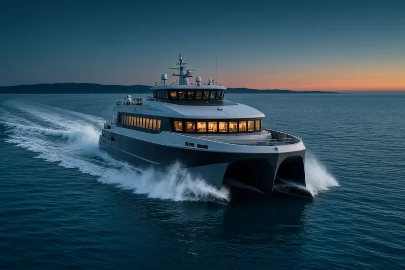
WANGDI60999 5 87 (MMSI 263600266) is a high-speed craft registered in Portugal. It is 284 m long and 10 m wide. Its most recent AIS position, received on 21 Nov 2026 at 16:25 UTC, placed it at sea in the North Atlantic Ocean.
Frequently asked questions
Where is WANGDI60999 5 87 now?
WANGDI60999 5 87 was last reported at sea in the North Atlantic Ocean on 21 Nov 2026 at 16:25 UTC.
What type of ship is WANGDI60999 5 87?
WANGDI60999 5 87 is a high-speed craft. It is 284 m long and 10 m wide.
What is the MMSI number of WANGDI60999 5 87?
The MMSI of WANGDI60999 5 87 is 263600266.
What flag does WANGDI60999 5 87 fly?
WANGDI60999 5 87 sails under the flag of Portugal (PT).
Similar high-speed craft
Active high-speed craft of a similar size (199–369 m).
More high-speed craft in the directory
The next high-speed craft with an IMO number after WANGDI60999 5 87, A–Z.
- 🇸🇬WAVEMASTER 3 38 m 563049800 9257840 BTC-TMFT AND RETURN
- 🇸🇬WAVEMASTER 5 37 m 563002840 9257888 BATAM-SINGAPORE
- 🇸🇬WAVEMASTER 6 38 m 563002940 9261126 RFT TO SKP RETURN
- 🇸🇬WAVEMASTER 7 37 m 563070100 9264257 SKP
- 🇸🇬WAVEMASTER 8 38 m 563026600 9268459 SKP TO HFC
- 🇸🇬WAVEMASTER 9 37 m 563003330 9275232 BTC-TMFT
- 🇦🇪WHALES DIAMOND 31 m 470530000 9375032 SHJ PORT
- 🇺🇸WHALING CITY EXPRESS 28 m 367673370 9329370 —

Get alerts when WANGDI60999 5 87 arrives in port
Follow WANGDI60999 5 87 on the live map with a free account. Alerts on port calls, destination changes and AIS silence come with a fleet on any plan from €9.99/month.